To check if a shelf is level, use
Easy Laser Bubble Level
A camera laser level, bubble level and measuring toolkit for walls and surfaces.
Get it onGoogle PlayComing soonApp Store
Learn more ›What do you want to do? Pick a job and we’ll point you to the app for it.
To check if a shelf is level, use
A camera laser level, bubble level and measuring toolkit for walls and surfaces.
To measure an angle, use
An edge-angle meter, surface inclinometer and two-axis level with shared measurement tools.
To find a roof’s slope, use
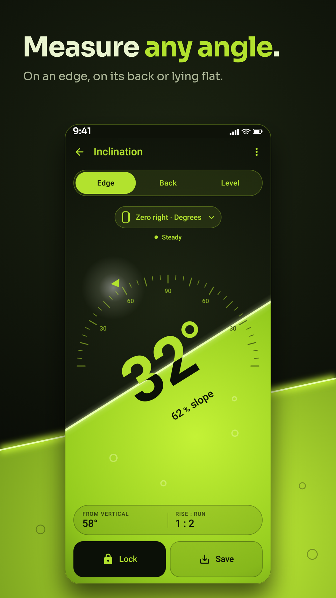
A slope meter with Edge / Back / Level, slope zones, field and construction tools.
To pick a paint color, use
Pick colors with the camera or from photos, compare shades, build palettes and preview photo effects.
To measure a field on the map, use
Draw or walk distances, areas and angles, keep drawings and export reports.
To measure something in a photo, use
The Full Image Meter photo library and editor for editable measurements and annotations.
To find screws in a wall, use
Read nearby magnetic fields, sweep with the Finder and keep finds on a map.
To check how loud it is, use
Measure live sound, make explicit logs and record media with the sound level.
To check the light for plants, use
Measure light for rooms, plants and photography, with logs and mapped readings.
To aim a satellite dish, use
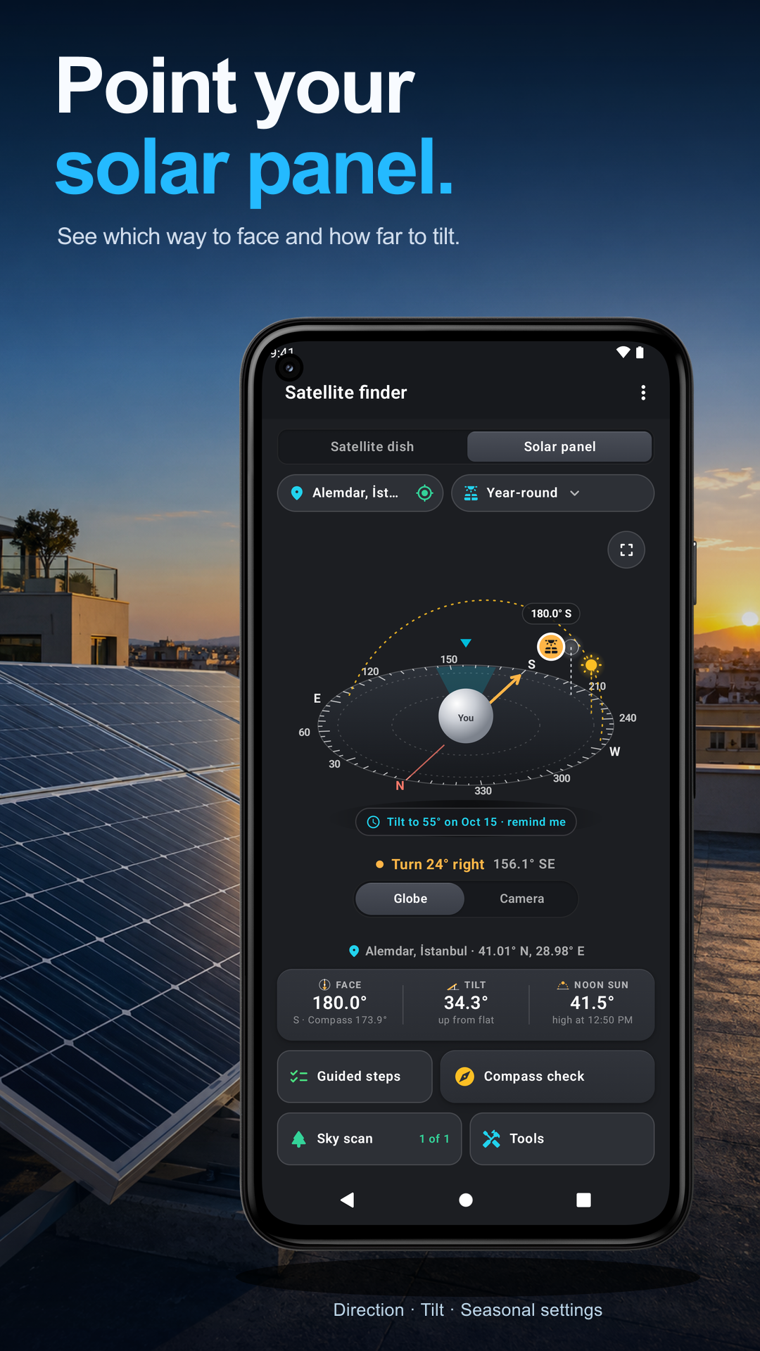
Aim satellite dishes and solar panels, inspect tuning values and scan sky obstructions.
To find north over the camera, use
Compass bezel, globe and camera views with places, routes, alert areas and alignment.
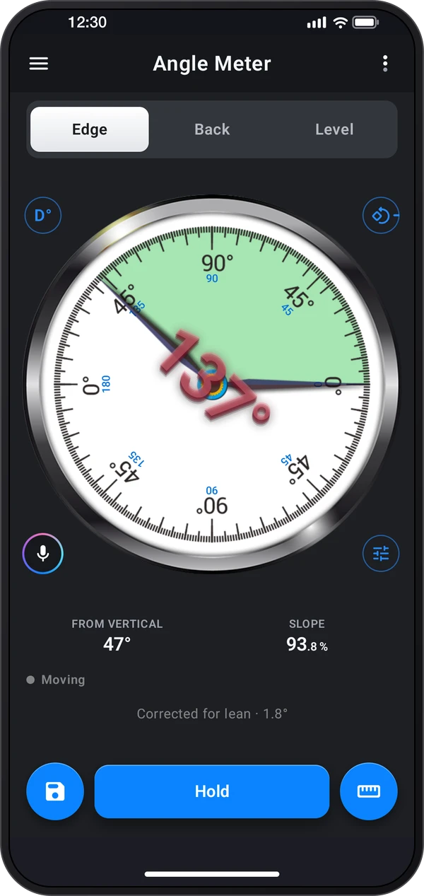
Angles and level
An edge-angle meter, surface inclinometer and two-axis level with shared measurement tools.
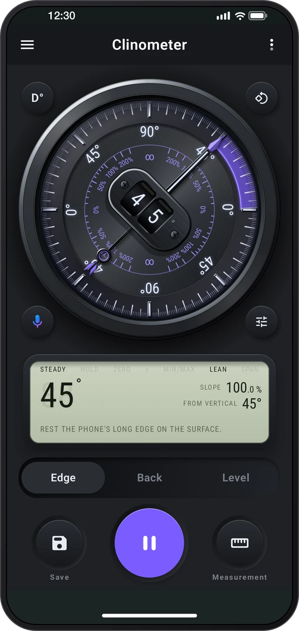
Angles and level
A slope meter with Edge / Back / Level, slope zones, field and construction tools.
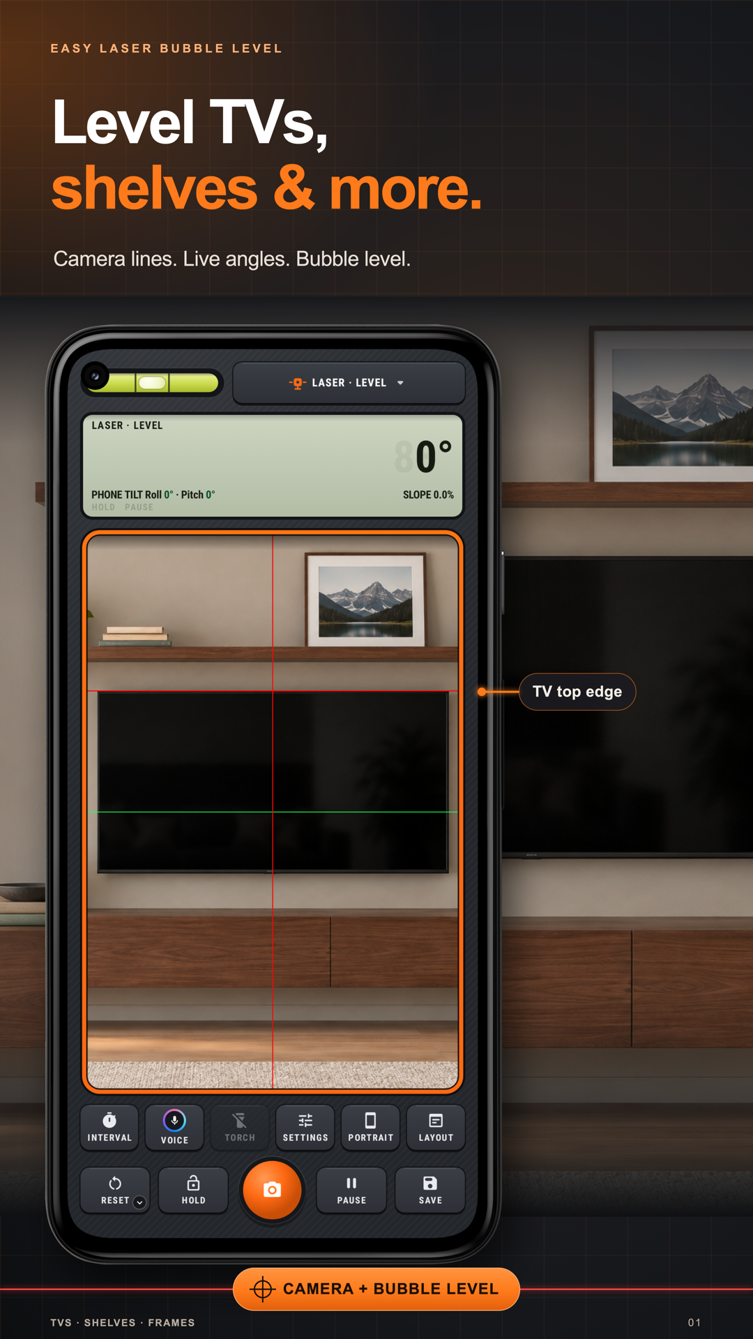
Through the camera
A camera laser level, bubble level and measuring toolkit for walls and surfaces.
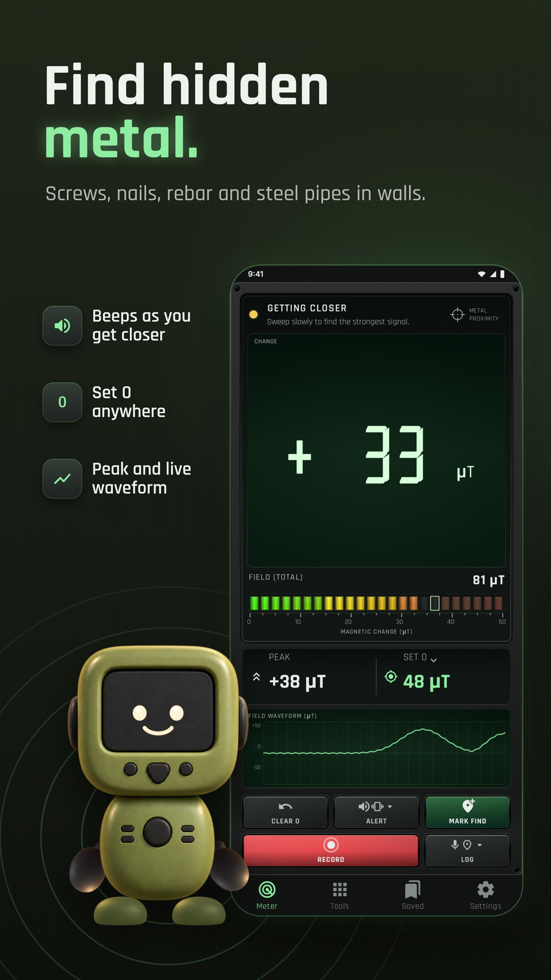
Sound, light and metal
Read nearby magnetic fields, sweep with the Finder and keep finds on a map.
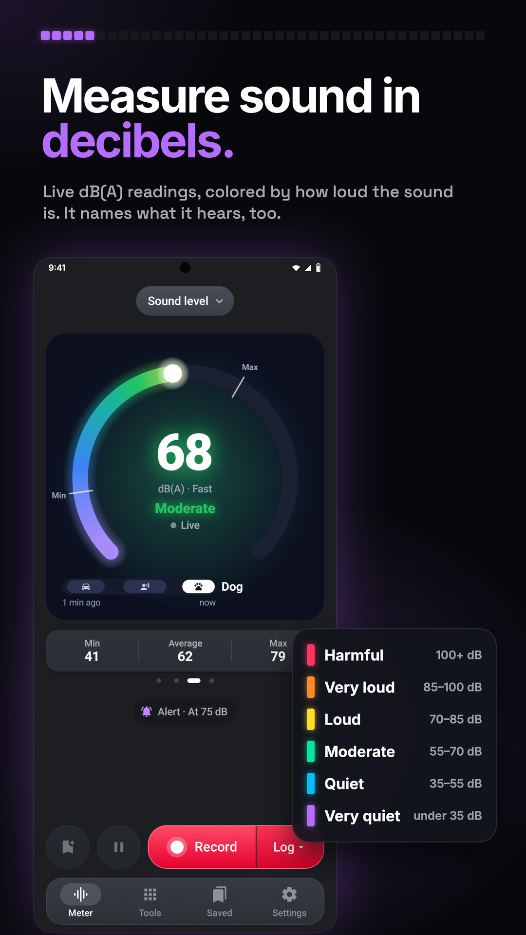
Sound, light and metal
Measure live sound, make explicit logs and record media with the sound level.
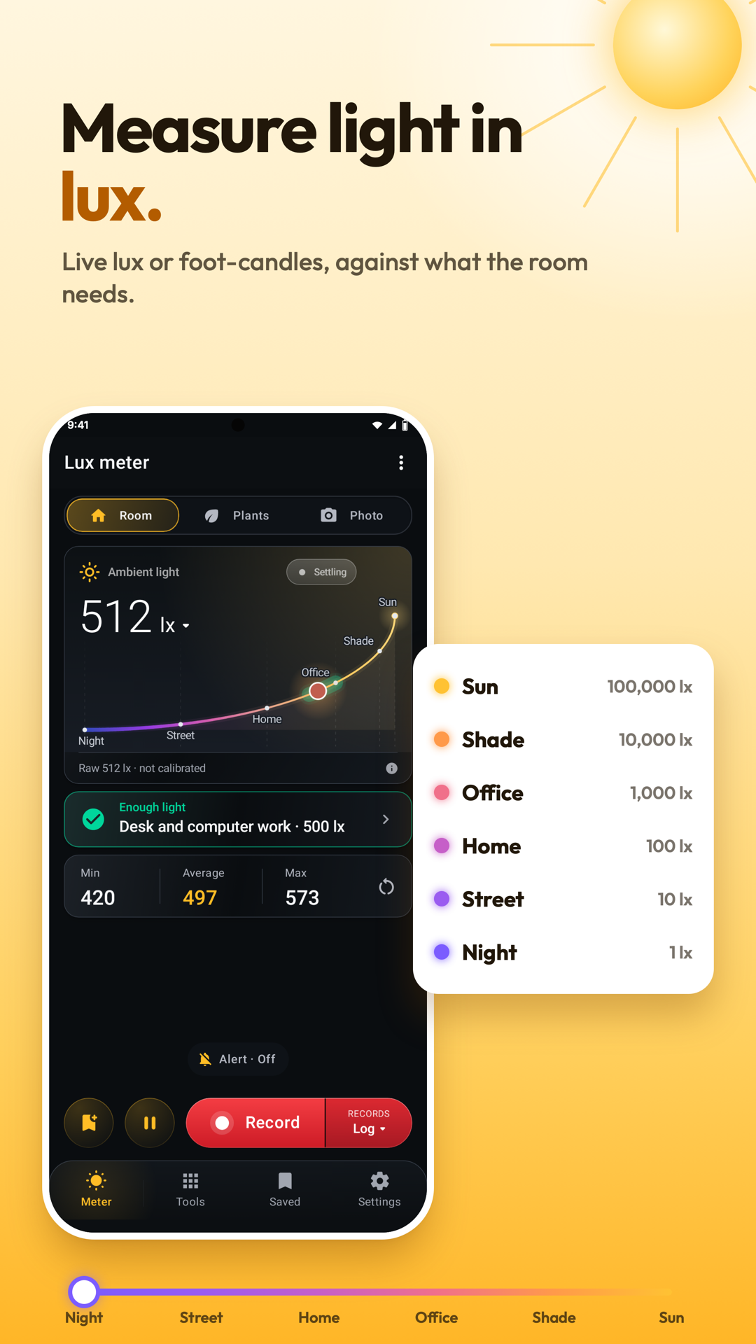
Sound, light and metal
Measure light for rooms, plants and photography, with logs and mapped readings.
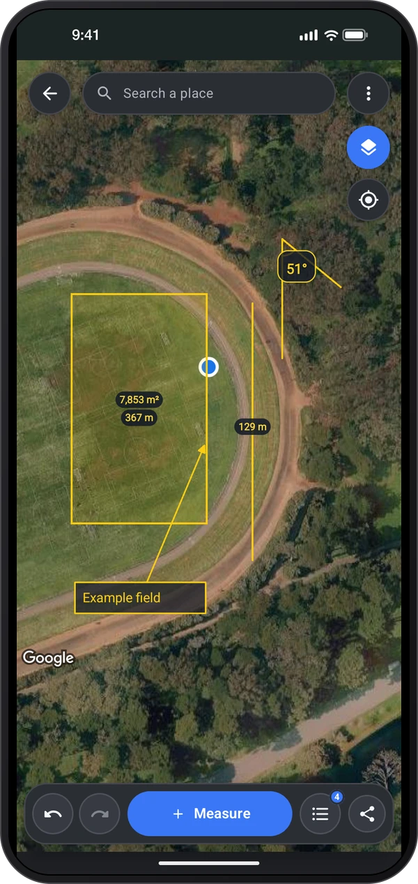
Maps and headings
Draw or walk distances, areas and angles, keep drawings and export reports.
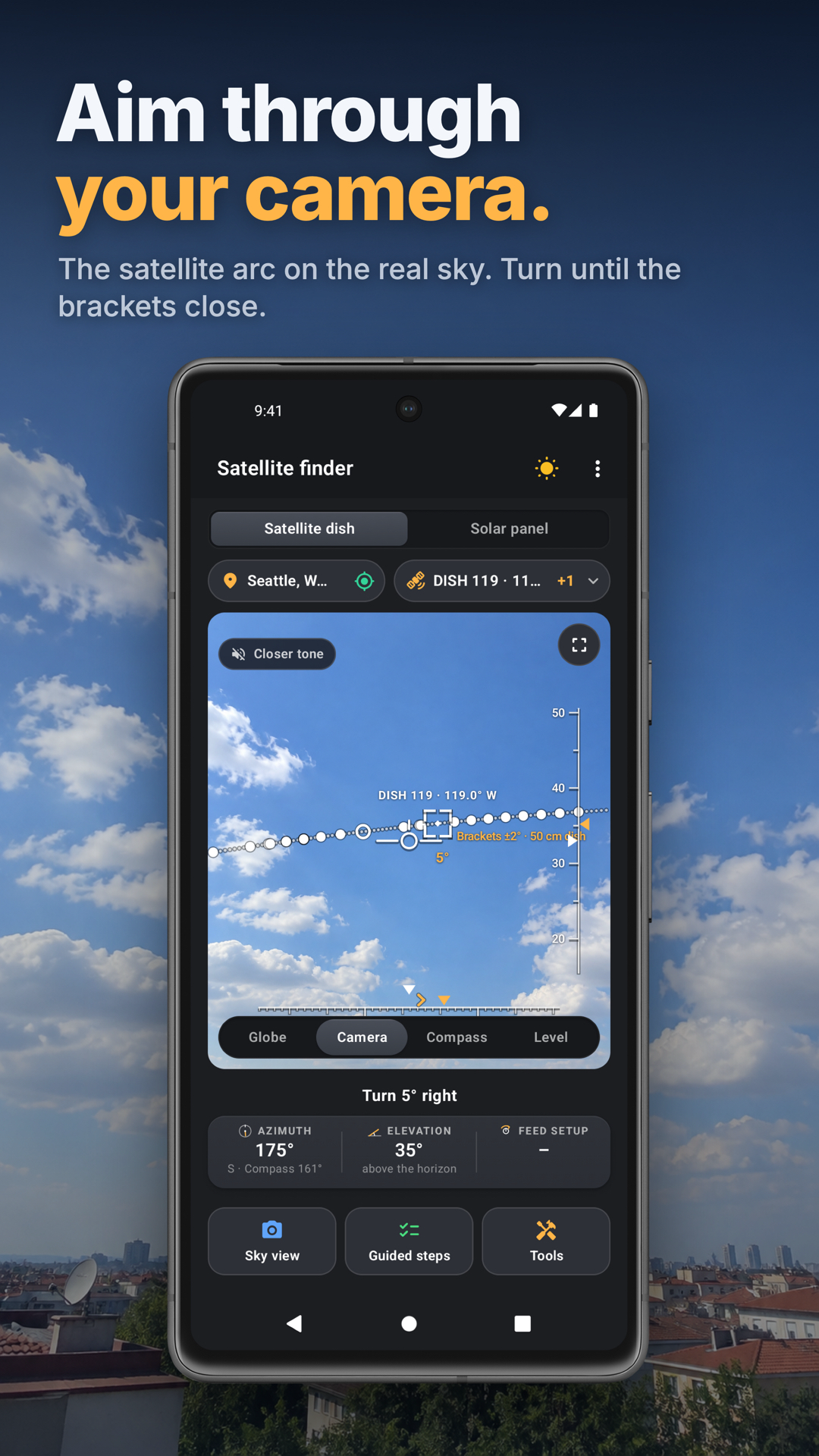
Through the camera
Aim satellite dishes and solar panels, inspect tuning values and scan sky obstructions.
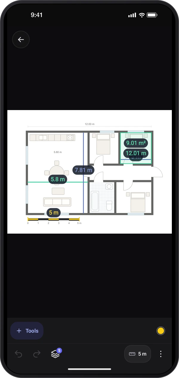
Through the camera
The Full Image Meter photo library and editor for editable measurements and annotations.
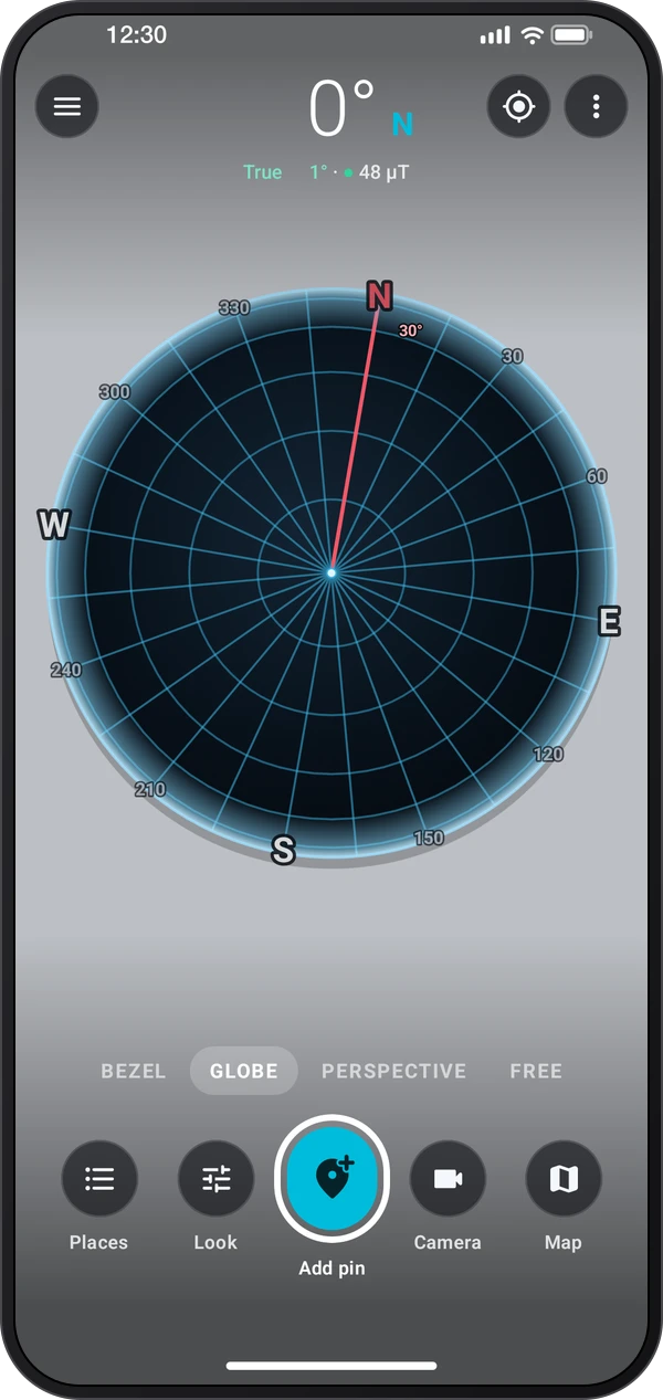
Maps and headings
Compass bezel, globe and camera views with places, routes, alert areas and alignment.
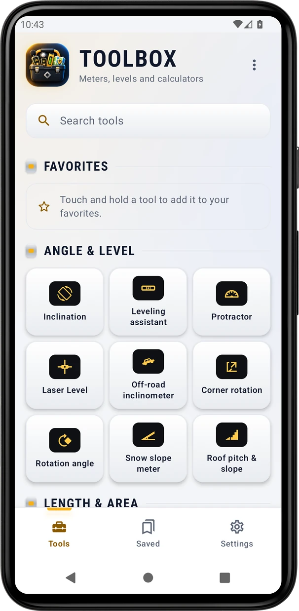
Angles and level
A development catalog combining measurement tools with Tools, Saved and Settings.
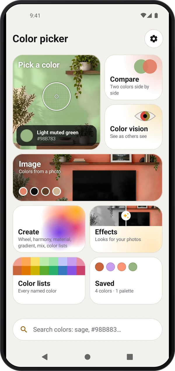
Colors
Pick colors with the camera or from photos, compare shades, build palettes and preview photo effects.
Images coming soon
Survey CameraThrough the camera
A camera-led field tool with photos, map and projects.
Images coming soon
MagnifierThrough the camera
Enlarge small print, freeze a picture, choose reading views and keep pictures with their text.
Angles and level
Measure slopes, line up a camera level and draw angles on photos, with saved Records.
Maps and headings
Explore sun and moon paths in Satellite Finder. A standalone app is planned.